
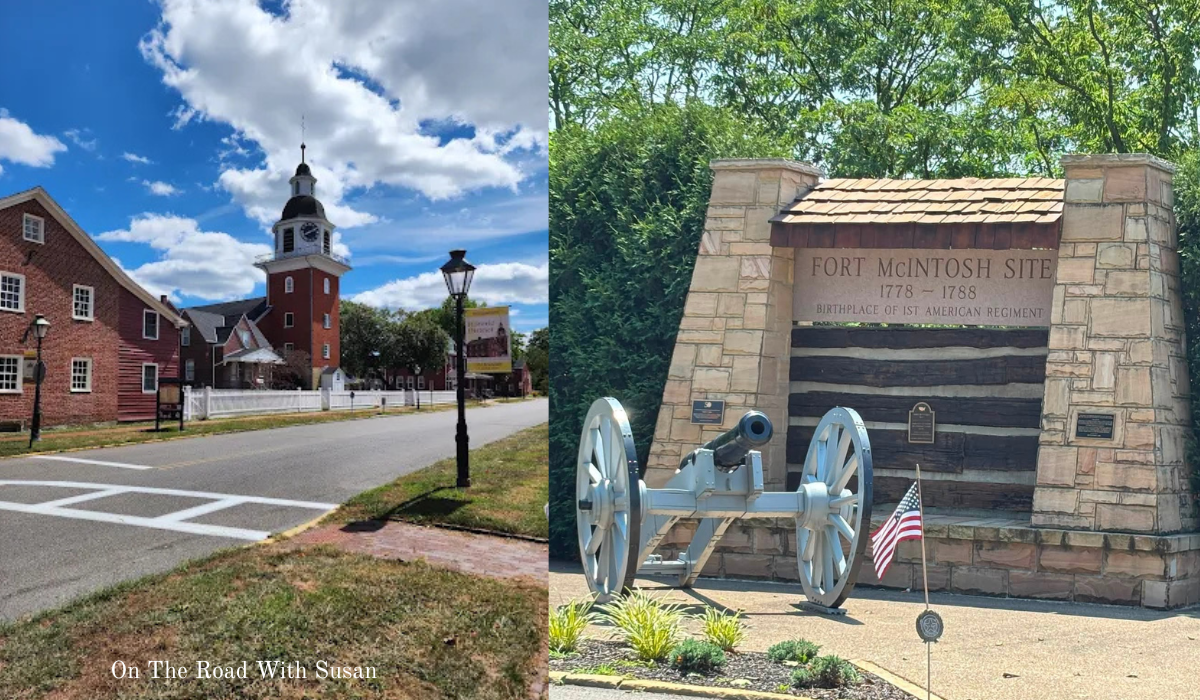
History Is Waiting Along the Road
Historical markers have a way of turning an ordinary drive into a history lesson. You may pass the same intersection dozens of times without realizing that soldiers once trained nearby, an important Supreme Court case began at a local steel mill, or a community of Chinese workers once lived only a few blocks away.
I grew up in Ambridge, so many of these places have always felt familiar to me. The more I research Beaver County, however, the more I realize how many important stories are hidden in plain sight. I created this guide as part of my project to locate, photograph and document Pennsylvania historical markers for On the Road with Susan.
This article covers 19 Pennsylvania Historical and Museum Commission marker records associated with Beaver County. An older county list contains 17 records. The Chinese Workers in Beaver Falls marker was approved in 2021, and the Sisters of St. Joseph of Baden marker was dedicated in 2024. Adding those two newer markers brings this guide to 19. Several older records are listed as missing, so always confirm a marker’s status and its current location before making a special trip
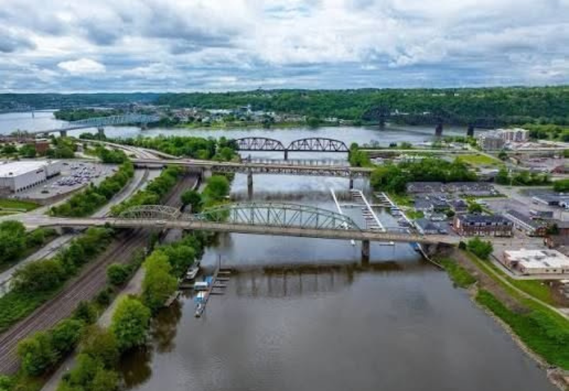
This is the third marker I am documenting in my Pennsylvania Historical Marker series. As I travel across the Commonwealth, I am tracking down these familiar signs, photographing them, and looking beyond their brief inscriptions to discover the fuller stories behind them.
Markers in the Town of Beaver, PA
1). Beaver County – Missing
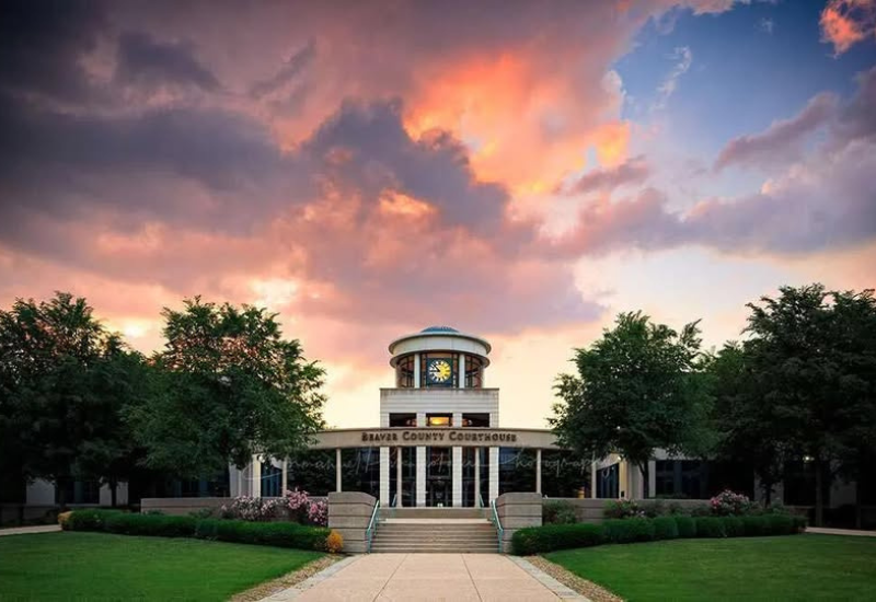
Marker location : County Courthouse park on Third Street in Beaver Listed as missing
Beaver County was created on March 12, 1800, from portions of Allegheny and Washington counties. The county took its name from the Beaver River, while the town of Beaver became the county seat. Beaver was formally incorporated as a borough in 1802.
The county marker stood near the courthouse on Third Street and summarized the area’s development through government, transportation and industry. The older marker directory identifies it as missing. Even without the sign, the courthouse area makes a sensible starting point because several other marker stories are close by.
The Marker reads:
Beaver County
Formed March 12, 1800 from Washington and Allegheny counties. The county seat, Beaver, was laid out 1792-93. County’s waterways have spurred its industrial growth. At Shippingport was the world’s first full-scale atomic power station devoted to civilian needs.
Date Dedicated: Jul 5, 1962
2). Fort Mcintosh
Marker location Third Street at Insurance Street in Beaver
Fort McIntosh was built in 1778 near the meeting of the Beaver and Ohio rivers. Named for General Lachlan McIntosh, it was the first Continental Army fort north of the Ohio River and served as a base for American operations on the western frontier.
The fort remained important after the Revolutionary War. Representatives of the United States and several Native nations signed the Treaty of Fort McIntosh here in 1785. Archaeologists later uncovered the fort’s stone foundations and thousands of artifacts. Visitors can see the interpreted fort site near River Road, while the state marker stands on Third Street.
The Marker reads:
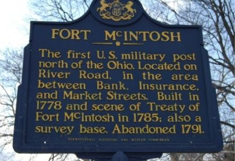
Fort McIntosh
The first U.S. military post north of the Ohio. Located on River Road and occupying the area between Bank, Insurance, and Market Streets. Built in 1778 and scene of Treaty of Fort McIntosh in 1785; also a survey base. Abandoned 1790-91.
Date Dedicated: Oct 31,1946
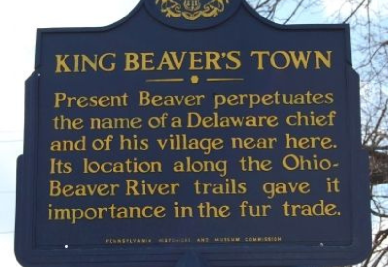
3). King Beaver’s Town
Marker location Third Street at Wilson Avenue in Beaver
Long before the present borough developed, this area was associated with a Lenape leader known as Tamaqua, or King Beaver. His town occupied an important position near river routes and overland trails, making it a center of travel and the fur trade.
The marker also explains the origin of the name Beaver. This stop is an important reminder that the county’s history began long before its courthouse, industries and modern communities appeared.
The Marker reads:
King Beaver's Town
Present Beaver perpetuates the name of a Delaware chief and of his village near here. Its location along the Ohio-Beaver River trails gave it importance in the fur trade.
Date Dedicated: Sept 25, 1946
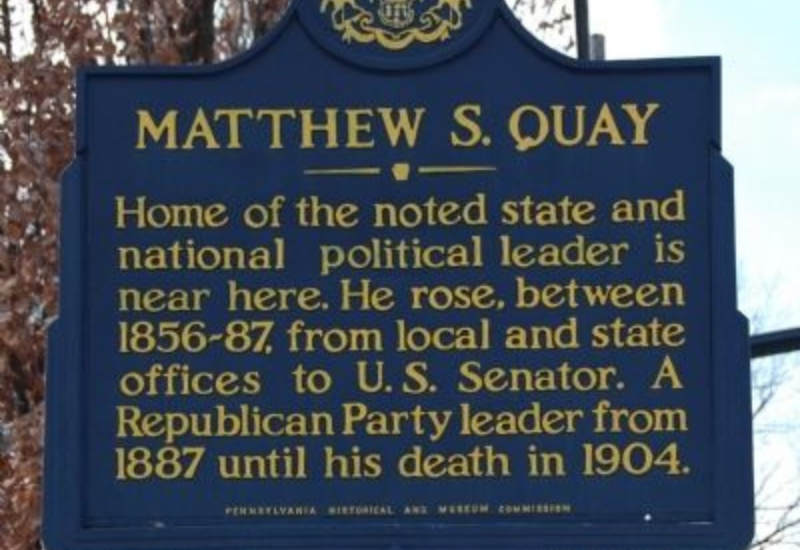
4). Matthew S Quay
Marker location Third Street at Insurance Street in Beaver
Matthew Stanley Quay became one of Pennsylvania’s most powerful political leaders during the late nineteenth century. He served in state government, became Pennsylvania state treasurer and represented the Commonwealth in the United States Senate.
Quay was also a major Republican Party organizer whose influence reached national politics. His longtime home at 205 College Avenue is a National Historic Landmark. The marker stands near Fort McIntosh, allowing visitors to connect the frontier story of Beaver with the town’s later political importance.
The Marker reads:
Matthew s. Quay
Home of the noted state and national political leader is near here. He rose , between 1856-87, from local and state offices to U.S. Senator. A Republican Party leader from 1887 until his death in 1904.
Dated Dedicated: Jul 22, 1949
The Markers in the Town of Beaver Falls, PA
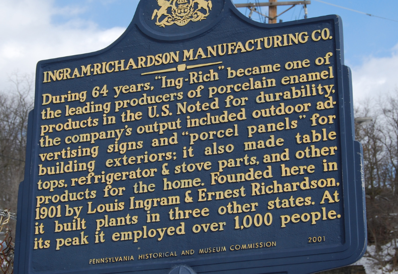
5). Ingram Richardson Manufacturing Company
Marker location Near the 24th Street and 31st Street extensions in Beaver Falls
Ingram-Richardson became one of the country’s leading manufacturers of porcelain enamel products. Its Beaver Falls operations produced durable signs, advertising panels, architectural pieces and other enameled products that could withstand weather and heavy use.
The company’s history reflects the skilled manufacturing that once supported Beaver Falls. Local histories credit the business with helping develop porcelain-enameled sign production in the community beginning in the late nineteenth century. The state marker recognizes a company whose products traveled far beyond Beaver County.
The Marker reads:
Ingram-Richardson Manufacturing Co.
During 64 years, “Ing-Rich” became one of the leading producers of porcelain enamel products in the U.S. Noted for durability, the company’s output included outdoor advertising signs and “porcel panels” for building exteriors; it also made table tops, refrigerators & stove parts, and other products for the home. Founded here in 1901 by Louis Ingram & Ernest Richardson, it built plants in three other states. At its peak it employed over 1000 people.
Date Dedicated: May 4, 2001
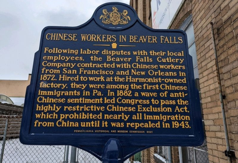
6). Chinese Workers in Beaver Falls
Marker location Seventh Avenue and Third Street in Beaver Falls
In 1872, the Beaver Falls Cutlery Company recruited Chinese workers from San Francisco and New Orleans after a dispute with white employees who had gone on strike. The group became the first large Chinese workforce in Pennsylvania and one of the earliest sizable Chinese communities east of the Rocky Mountains.
The workers faced hostility, discrimination and violence while doing demanding industrial work. Their presence drew state and national attention during an era of growing anti-Chinese sentiment. The controversy became part of the wider national debate that preceded the Chinese Exclusion Act of 1882. This marker, approved by the PHMC in 2021, restores an important Asian American and labor story to the public history of Beaver Falls.
The Marker reads:
Chinese Workers in Beaver Falls
Following labor disputes with their local employees, the Beaver Falls Cutlery Company contracted with Chinese workers from San Francisco and New Orleans in 1872. Hired to work at the Harmonist-owned factory, they were among the first Chinese immigrants in Pa. In 1882 a wave of anti-Chinese sentiment led Congress to pass the highly restrictive Chinese Exclusion Act, which prohibited nearly all immigration from China until it was repealed in 1943.
Date Dedicated: Oct 9, 2021
The Markers in the Town of Aliquippa, PA.
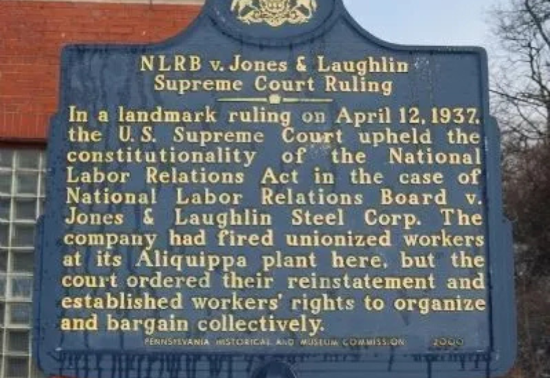
7). NLRB v Jones and Laughlin Supreme Court Ruling
Marker location 112 Station Street in Aliquippa
This marker tells a Beaver County story with national consequences. Jones and Laughlin Steel discharged ten Aliquippa employees involved in union organizing. The National Labor Relations Board ordered the company to reinstate the workers and provide back pay, but the company challenged the federal government’s authority.
In 1937, the United States Supreme Court ruled 5 to 4 that Congress could regulate labor relations when they had a close connection to interstate commerce. The decision upheld the National Labor Relations Act and strengthened federal protection for workers seeking to organize. A case that began in industrial Aliquippa helped shape labor law across the nation.
The Marker reads:
NLRB v. Jones & Laughlin Supreme Court Ruling
In a landmark ruling on April 12, 1937, the U.S. Supreme Court upheld the constitutionality of the National Labor Relations Board v. Jones & Laughlin Steel Corp. The company had fired unionized workers at its Aliquippa plant here, but the court ordered their reinstatement and established workers’ rights to organize and bargain collectively.
Date Dedicated: Apr 8, 2001
The Markers in the town of Ambridge and Harmony Township, PA
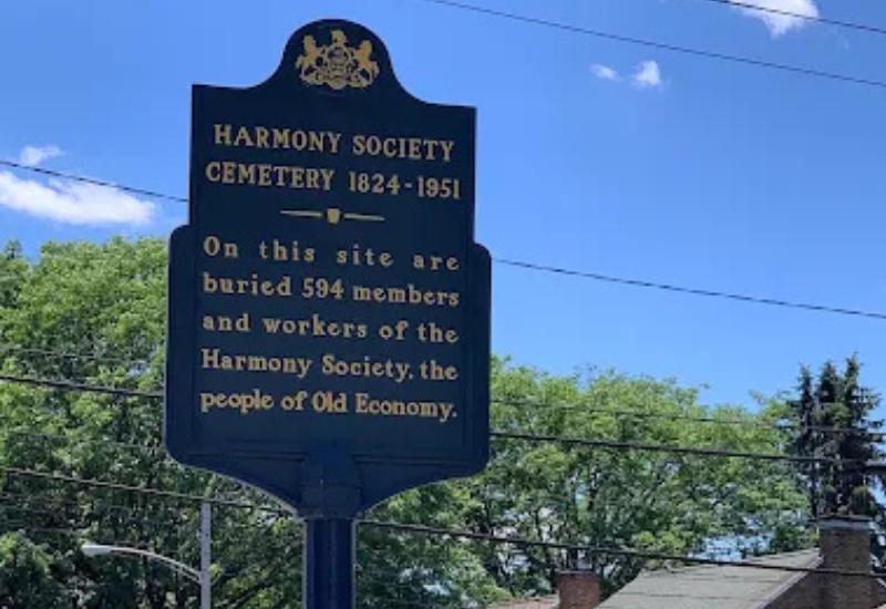
8). Harmony Society Cemetery
Marker location Church Street and Eleventh Street in Ambridge
The cemetery contains the graves of hundreds of Harmony Society members and workers who died between 1824 and 1951. The Harmonists generally avoided individual headstones because their religious beliefs emphasized equality and humility rather than personal monuments.
The quiet cemetery provides a different kind of view into Old Economy. The surrounding historic buildings show the Society’s industry and craftsmanship, while the burial ground reflects its spiritual beliefs and communal way of life.
The Marker reads:
Harmony Society Cemetery
On this site are buried 594 members and workers of the Harmony Society, the people of Old Economy.
Date Dedicated: Dec2, 1963
9). Harmony Society Church
Marker location Church Street near Creese Street in Ambridge
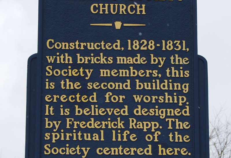
Harmony Society members constructed the church between 1828 and 1831 using bricks they made themselves. It was the second worship building at Economy and served as the religious center of the community.
The structure’s simple exterior matched the Society’s disciplined beliefs, while its large interior accommodated communal worship and music. The marker helps visitors understand that faith guided the Harmonists’ daily schedule, business decisions and vision for their settlement.
The Marker reads:
Harmony Society Church
Constructed, 1828-1831, with bricks made by the Society members, this is the second building erected for worship. It is believed designed by Frederick Rapp. The spiritual life of the Society centered here.
Date Dedicated: Sept 11, 1967
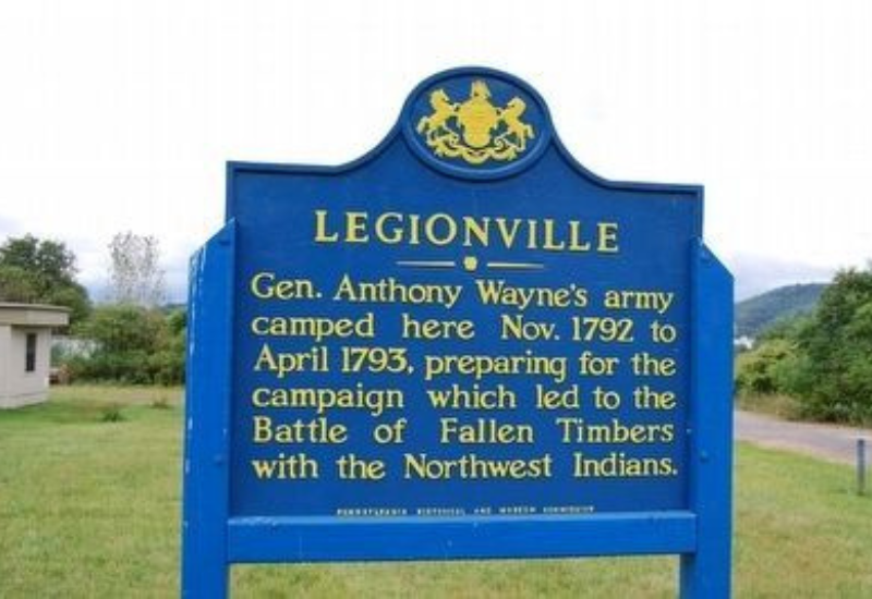
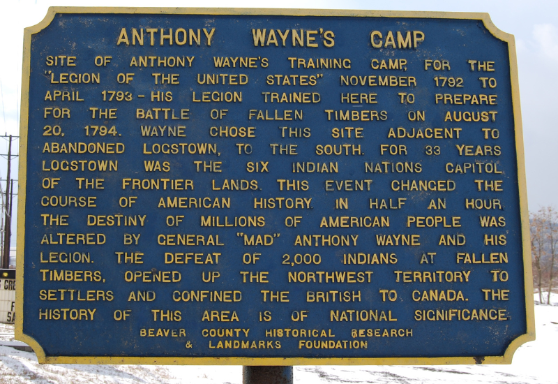
10). Legionville- Harmony Twp.
Marker location Duss Avenue at Anthony Wayne Drive north of Ambridge
Major General Anthony Wayne established Legionville during the winter of 1792 and 1793. The camp became the first formal basic training center for the United States military. Wayne used the site to organize and train the Legion of the United States before its campaign in the Northwest Territory.
Soldiers practiced marksmanship, battlefield formations, artillery work and strict military discipline. Their training contributed to the Legion’s victory at the Battle of Fallen Timbers in 1794. The site is privately owned, so visitors should view the marker from a safe public location and respect all posted boundaries.
The Marker reads:
Legionville
Gen. Anthony Wayne’s army camped here Nov. 1792 to April 1793, preparing for the campaign which led to the Battle of Fallen Timbers with the Northwest Indians.
Date Dedicated: Sept. 25, 1946
11). General Anthony Wayne Camp- Plaque – Missing
Marker location Duss Avenue at Anthony Wayne Drive Listed as missing
The older PHMC county directory contains a second Legionville record at the same general location. It covers the military camp and Anthony Wayne’s preparations for the campaign that followed.
This second marker is listed as missing. I am keeping it in the guide because documenting missing markers is part of preserving the public record. It also explains why the county list includes two entries with the same title.
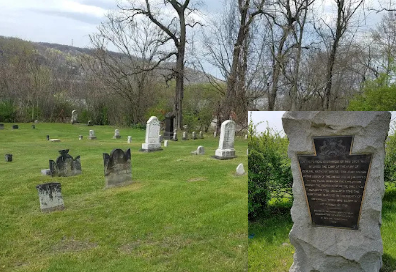
The Marker reads:
General Anthony Wayne Camp
On the plateau, southwest of this spot, was situated the camp of the army of General Anthony Wayne. This army, known as the Legion of the United States, encamped at this place when on the expedition against the Indians west of the Ohio, from November, 1792, until April, 1793. The expedition resulted in the Treaty of Greenvile, which was signed in the summer of 1795.
Date Dedicated: Jun 22, 1918
12). Logstown – Harmony Twp.
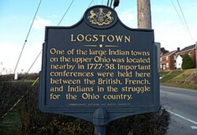
Marker location Duss Avenue at Anthony Wayne Drive north of Ambridge
Logstown was a major Native American town and trading center along the Ohio River. During the eighteenth century, it brought together Lenape, Shawnee, Haudenosaunee representatives, traders and colonial officials.
The town became an important site for diplomacy before the French and Indian War. Colonial representatives met Native leaders here for the Treaty of Logstown in 1752. The marker stands near the Legionville marker, but the stories represent two different periods: Logstown recalls Native community and diplomacy, while Legionville represents the later expansion of the United States military.
The Marker reads:
Logstown
One of the large Indian towns on the upper Ohio was located nearby in 1727-58. Important conferences were held here between the British, French, and Indians in the struggle for the Ohio Country.
Date Dedicated: Oct 31, 1946
13). Logstown – Harmony Twp. -Plaque – Missing
Marker location Duss Avenue at Anthony Wayne Drive north of Ambridge
Logstown was a major Native American town and trading center along the Ohio River. During the eighteenth century, it brought together Lenape, Shawnee, Haudenosaunee representatives, traders and colonial officials.
The town became an important site for diplomacy before the French and Indian War. Colonial representatives met Native leaders here for the Treaty of Logstown in 1752. The marker stands near the Legionville marker, but the stories represent two different periods: Logstown recalls Native community and diplomacy, while Legionville represents the later expansion of the United States military.
The Marker reads:
Logstown -PLAQUE
13). Logstown – Harmony Twp. -Plaque – Missing
Marker location Duss Avenue at Anthony Wayne Drive north of Ambridge
Logstown was a major Native American town and trading center along the Ohio River. During the eighteenth century, it brought together Lenape, Shawnee, Haudenosaunee representatives, traders and colonial officials.
The town became an important site for diplomacy before the French and Indian War. Colonial representatives met Native leaders here for the Treaty of Logstown in 1752. The marker stands near the Legionville marker, but the stories represent two different periods: Logstown recalls Native community and diplomacy, while Legionville represents the later expansion of the United States military.
The Marker reads:
Logstown - Plaque
A short distance southeast of this spot, along the banks of the river, was situated the village of Logstown one of the largest Indian settlements on the upper Ohio. It was the scene of many important conferences between the French, the British and the Indians…
14). Old Economy
Marker location Duss Avenue at Anthony Wayne Drive north of Ambridge
Logstown was a major Native American town and trading center along the Ohio River. During the eighteenth century, it brought together Lenape, Shawnee, Haudenosaunee representatives, traders and colonial officials.
The town became an important site for diplomacy before the French and Indian War. Colonial representatives met Native leaders here for the Treaty of Logstown in 1752. The marker stands near the Legionville marker, but the stories represent two different periods: Logstown recalls Native community and diplomacy, while Legionville represents the later expansion of the United States military.
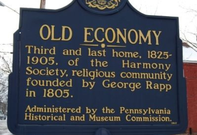
The Marker reads:
Old Economy
Third and last home, 1825-1905, of the Harmony Society, religious community founded by George Rapp in 1805. Administered by the Pennsylvania Historical and Museum Commission.
Date Dedicated: Jan 1, 1948
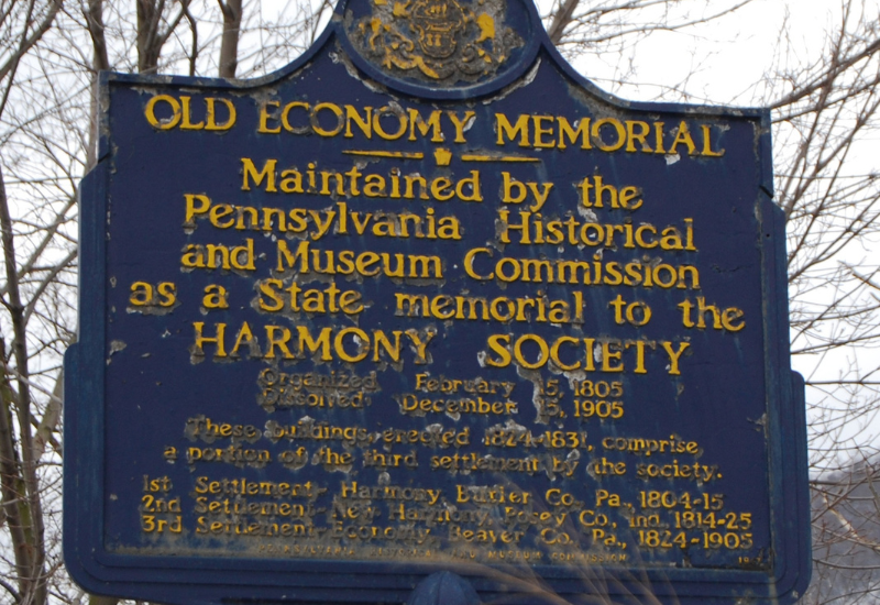
15). Old Economy Memorial
Marker location Thirteenth and Church streets in Ambridge
The Old Economy Memorial marker stands within the historic area and provides another commemoration of the Harmony Society’s final settlement. It connects the surviving buildings with the people who created the community and lived there for generations.
The Society formally dissolved in 1905. Pennsylvania acquired a portion of the property in 1916, helping preserve the heart of Economy as a historic site. Today it is both a National Historic Landmark and one of Beaver County’s most important attractions.
The Marker reads:
Old Economy Memorial
Maintained by the Pennsylvania Historical and Museum Commission as a State memorial to the Harmony Society, organized February 15, 1805, dissolved December 15, 1905. These buildings erected 1824-1831, comprise a portion of the third settlement by the society. 1st Settlement – Harmony, Butler Co., Pa., 1804-15. 2nd Settlement – New Harmony, Posey Co., Ind., 1814-25. 3rd Settlement – Economy, Beaver Co., Pa., 1824-1905.
Date Dedicated: Jan 1, 1947
The Markers in the Town of Baden, PA
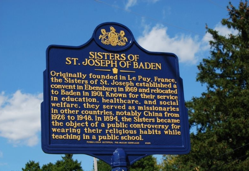
16). Sisters of St Joseph of Baden
Marker location 1020 State Street in Baden
The Sisters of St. Joseph established their Pennsylvania community in Ebensburg in 1869 and relocated to Baden in 1901. The congregation’s work has included education, healthcare, social services, spiritual ministry and missions in the United States and abroad.
The sisters served in dozens of schools, staffed hospitals and established programs that continue to help families and young people. They were the first Catholic sisters from Western Pennsylvania to send missionaries overseas and the only women’s religious congregation in Pennsylvania to send missionaries to China. Dedicated on September 8, 2024, the marker recognizes more than a century of service from the Baden community.
The Marker reads:
Sisters of St. Joseph of Baden
Originally founded in Le Puy, France, the Sisters of St. Joseph established a convent in Ebensburg in 1869 and relocated to Baden in 1901. Known for their service in education, healthcare, and social welfare, they served as missionaries in other countries, notably China from 1926 to 1948. In 1894, the Sisters became the object of a public controversy for wearing their religious habits while teaching in a public school.
Date Deicated: Sept 8, 2024
The Markers in the town of New Brighton, PA
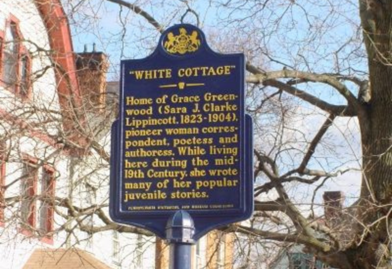
17). White Cottage
Marker location 1221 Third Avenue in New Brighton
White Cottage was the home of Sara Jane Clarke Lippincott, who wrote under the name Grace Greenwood. She became a popular author, poet, lecturer and journalist during the nineteenth century and was among the early women to work as a correspondent in Washington.
Clarke moved with her family to New Brighton in 1843 and wrote many of her stories for young readers while living at White Cottage. The marker recognizes both the house and a woman who built a public career through writing at a time when professional opportunities for women remained limited.
The Marker reads:
White Cottage
Home of Grace Greenwood (Sara J. Clarke Lippincott, 1823-1904), pioneer woman correspondent, poetess and authoress. While living here during the mid-19th Century, she wrote many of her popular juvenile stories.
Date Decicated: May 27, 1969
Pennsylvania Boundary Marker Records - Both Missing
18). Pennsylvania Marker on US Route 30
Marker location US Route 30 about four tenths of a mile from the state line between PA & WVA. Listed as missing
This marker identified the entrance into Pennsylvania along US Route 30. State-line markers often summarize Pennsylvania’s founding and William Penn’s role in the colony’s history.
The older Beaver County directory lists this sign as missing. Travelers should not expect to find it without first confirming that the PHMC has replaced or relocated it.
Marker said: Founded 1681 by William Penn as a Quaker Commonwealth. Birthplace of THE DECLARATION OF INDEPENDENCE and THE CONSTITUTION OF THE UNITED STATES.
Date Dedicated: Mar 25, 1049
19). Pennsylvania Marker on Route 51
Marker location Pennsylvania Route 51 at the PA & Ohio state line Listed as missing
A second Pennsylvania boundary marker once greeted travelers entering Beaver County along Route 51. Like the US Route 30 marker, it represented the Commonwealth’s colonial beginnings rather than one specific Beaver County event.
This marker is also listed as missing in the older directory. Including both boundary-marker records keeps the guide consistent with the PHMC county listing and may help future marker hunters document whether replacements appear.
The Marker said: Founded 1681 by William Penn as a Quaker Commonwealth. Birthplace of THE DECLARATION OF INDEPENDENCE and THE CONSTITUTION OF THE UNITED STATES.
Date Dedicated: Mar 25, 1949.
Planning a Beaver County Marker Trip
The markers form several natural clusters. Beaver’s four stops can be combined with the Fort McIntosh site and the Beaver Area Heritage Museum. Beaver Falls and New Brighton work well together, while Aliquippa, Ambridge, Harmony Township and Baden can form another route along the Ohio River corridor.
Many markers stand along busy roads or near intersections. Park legally, avoid stopping on highway shoulders when conditions are unsafe, and photograph markers from public property. Old Economy Village, Fort McIntosh and local museums deserve extra time because their exhibits add context that cannot fit on a roadside sign.
My Final Thoughts
Beaver County’s markers tell a much larger story than I expected. They connect Native American towns, Revolutionary-era forts, the first formal training camp for the United States military, a successful religious community, major industries and a Supreme Court decision that changed American labor law. The newer markers also bring long-overlooked stories into view, especially the Chinese workers in Beaver Falls and the service of the Sisters of St. Joseph in Baden.
My goal is to visit these locations, photograph the markers that remain and document what I find on On the Road with Susan. I also want to record the markers listed as missing. A missing sign does not erase the history. In some ways, it makes documenting the location and the story even more important.
If you decide to follow this marker trail, take your time and look beyond the sign. Explore the nearby towns, museums and historic sites. History is all around us, and in Beaver County, it is waiting along roads many of us travel every day.
Pennsylvania has more than 2,600 historical markers, which means there are many more stories waiting to be explored. If you would like to find markers near you, visit PAHistoricalMarkers.com.
Until Next Time!
Susan